






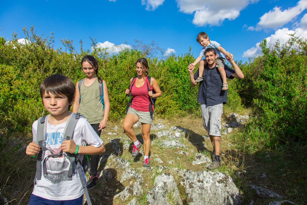
The Coëvrons region in Mayenne offers over 500 km of marked hiking trails! The 50 walking routes through the heart of nature will allow you to discover the region's rich cultural heritage: mills, castles, picturesque villages, caves, and breathtaking panoramas. In addition, there are numerous horseback riding and mountain biking trails!
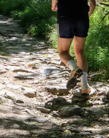
For the more athletic, trail running routes opened in 2023. The Sainte-Suzanne les Coëvrons area offers around ten routes of varying difficulty. You'll pass through three charming small towns : Sainte-Suzanne, Saint-Pierre-sur-Erve, and Saulges. It's definitely worth the trip!
Hiking trails near Sainte-Suzanne
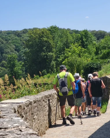
The hiking trails of the Coëvrons region are perfect for exploring the area. Between wooded hills, rivers , and hedged farmlands , approximately 500 km of trails and more than 50 hiking routes will lead you to discover the most beautiful spots in the Mayenne. Many routes can also be explored on horseback , with or without a horse-drawn carriage , or by mountain bike!
-
CIRCUIT TRAIL LE VALLON DE LA VALLETTE
Difficult level

Vallette Valley Trail Circuit, © OT SS les Coëvrons See the route
-

MULTI-HIKING LOOP NO. 07 – ASSÉ-LE-BÉRENGER – ST GEORGES S/ERVE – VOUTRÉ, © Philippe CAHAREL See the route
-
-
Photo 1, © OT Coëvrons -
Photo 2, © Coëvrons Tourist Office -
Photo 3, ©Coëvrons Tourist Office -
Photo 4, ©OT COEVRONS
See the route
-
-

MULTI-HIKING LOOP NO. 02 – SPECIAL HORSE-DRAWN TRAIL / STE SUZANNE, TORCÉ AND CHAMMES, © OT Coëvrons See the route
-
BOUCLE MULTI-RANDONNÉES N°03 – SECTEUR SAULGES, CHAMMES, ST JEAN SUR ERVE, ST PIERRE SUR ERVE ET THORIGNÉ
Average level
-
Photo 1, ©OT Coëvrons -
Photo 2, © OT Coëvrons -
Photo 3, ©OT Coëvrons -
Photo 4, © OT Coëvrons
See the route
-
-
-
Photo 1, ©RELAI-DU-GUE-DE-SELLE -
Photo 2, ©RELAI-DU-GUE-DE-SELLE -
Photo 3, © OT Coëvrons -
Photo 4, © OT Coëvrons
See the route
-
-
BOUCLE MULTI-RANDONNÉE N°04 – BAIS IZÉ HAMBERS
Average level
-
Photo 1, © Coëvrons Tourist Office -
Photo 2, © Coëvrons Tourist Office -
Photo 3, © Coëvrons Tourist Office -
Photo 4, © Coëvrons Tourist Office
See the route
-
-
CIRCUIT TRAIL BOUCLE DU VOYAGEUR
Difficult level

TRAIL TRAIL TRAIL TRAIL TRAIL TRAIL, © OT SS les Coëvrons See the route
-

MULTI-HIKING LOOP No. 06 – BREE – GENNES – MONTSURS – NEAU – ST CHRISTOPHE DU LUAT – ST CENERE (possible obstruction at Montsûrs station), © Fabien CHERE See the route
-

[COMPLETE OBSTRUCTION AT POINT #20] MULTI-HIKING LOOP #05 – ST GEORGES S/ERVE – ST THOMAS DE COURCERIERS – VIMARTIN S/ORTHE, © Saint-Pierre-sur-Orthe See the route
-
VÉLOROUTE – Itinéraire vélo en Mayenne (GRAZAY – HAMBERS – SAINTE-SUZANNE – SAULGES – DAON)
Average level

Cycle Route – Cycling itinerary in Mayenne (GRAZAY – HAMBERS – SAINTE-SUZANNE – SAULGES – DAON), © French_Wanderers See the route


Fancy a leisurely stroll along the river or a more challenging hike through the hills? Find trail maps and detailed hiking guides at our Tourist Offices in Sainte-Suzanne and Evron. For those who enjoy multi-day hikes, several accommodations are available during your stay in Mayenne.
Trail running in the Small Towns of Character
For lovers of sporting challenges, the Coëvrons in Mayenne offer several trail route who will put you to the test. A ten courses are marked and 3 technical workshops allow you to train and progress.
Whether you are a beginner or more experienced trail runner, the circuits can range from easy to very difficult level. They are listed by color, according to their difficulty levels: shiso (easy), blue (AVERAGE), Red (difficult) and Black (very difficult).
In addition, you will pass through the heart of 3 Small Towns of Character: Sainte-Suzanne, also classified as one of the Most Beautiful Villages in France, Saulges and its prehistoric caves but also Saint-Pierre-sur-Erve, a true artistic village.
So, what are you waiting for to put on your sneakers?
Hiking and trail running in the Coëvrons
Hiking Sentinel
Whether you're a hiker or a trail runner, become a Trail Sentinel to help us maintain our trails. The mission is simple: just report any problems you encounter during your hikes or trail runs!