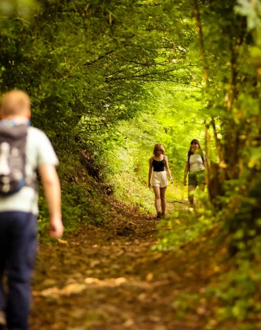
Fancy a hike in the great outdoors, surrounded by Mayenne's groves? Les Coëvrons, located in the Mayenne department, offers you an ideal playground with over 500 kilometers of marked trails!
Where to go hiking in Mayenne?
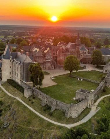
Whether you're a passionate hiker seeking a sporting challenge, or simply looking for a leisurely family stroll, the Coëvrons region has something to satisfy everyone. Browse our selection of hiking trails suited to all levels of difficulty and choose your starting point. Once you've found your perfect hike, download the trail guide in PDF format! The diverse landscapes of the Coëvrons will take you past mills, forests, ponds, historical sites, and beautiful viewpoints.
So, prepare your walking shoes, your water bottle and your enthusiasm, and set off to discover the Coëvrons during unforgettable hikes in Mayenne!
-
GR365 – ETAPE 3 – SAINTE GEMMES LE ROBERT – JUBLAINS
Difficult level
-
Photo 1, ©Philippe CAHAREL – Mayenne Tourism -
Photo 2, ©Mayenne Tourism -
Photo 3, ©Mayenne Tourism -
Photo 4, ©Pascal_BELTRAMI_-_Mayenne_Tourisme
See the route
-
-

ARBORETUM TRAIL – No. 46, © Sainte-Suzanne Les Coëvrons Tourist Office See the route
-

Jouanne Valley Circuit – No. 47 (temporarily closed due to route change at Montsûrs train station), © Sainte-Suzanne Les Coëvrons Tourist Office See the route
-

Fountains Circuit – No. 48, © La Grande Courbe See the route
-

HURDLES CIRCUIT – No. 49, ©Bernard Girault See the route
-

Bocage Circuit – No. 50, © Dominique Vernier See the route
-
CIRCUIT « LA ROUTE DES MOULINS » – N°51
Average level

"THE MILL ROUTE" TRAIL – No. 51, © Mayenne Tourism See the route
-

CIRCUIT DE GENNES – N°52, © OT Coëvrons See the route
-

[COMPLETE OBSTRUCTION AT POINT #20] MULTI-HIKING LOOP #05 – ST GEORGES S/ERVE – ST THOMAS DE COURCERIERS – VIMARTIN S/ORTHE, © Saint-Pierre-sur-Orthe See the route
-
CIRCUIT DE L’ORATOIRE – N°33
Easy level
-
Photo 1, © P. Beltrami -
Photo 2, © P. Beltrami -
Photo 3, © OT Coëvrons -
Photo 4, ©OT Coëvrons -
Photo 5, © OT Coëvrons
See the route
-
-

COUDRAIE CIRCUIT – No. 53, © Yvon Buard See the route
-

LES TIRAMONTS CIRCUIT – N°54, © Philippe CAHAREL See the route


Fancy a more sporty hike?
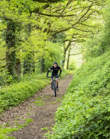
Check out all our marked trails among the 500 kilometers of trails in the Coëvrons. Whether you're mountain biking, horseback riding, or exploring long hiking trails, there's something for everyone!
Become a Hiking Sentinel!
Do you regularly hike the Coëvrons hiking trails? This mission is for you! Become a Hiking Sentinel and report any problems you encounter during your outings.